description
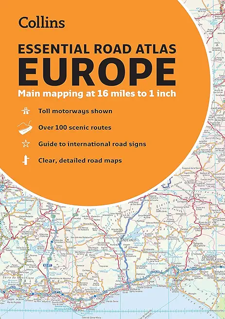
tlas of Europe. Contains clear, large-scale, detailed road mapping, perfect for touring the Mediterranean, Iberian peninsula, Scandinavia and all European tourist destinations. Main features.
- Clear, easy to follow road maps at a scale of 1:1,000,000.
- Europe routes and motorways are easily distinguished on the mapping.
- The maps also show international road classifications, road distances in kilometers and relief is shown by attractive layer tints. - Route planning maps
- Over 100 scenic routes shown
- Toll motorways shown
- Guide to international road signs, driving advice and useful internet links
- Route maps of 64 major cities
- Street plans of 16 major cities
- Locator diagrams on each page to help you navigate
- More detailed road maps extending from Amsterdam to Munich, making route following easier through this densely populated area.
- The mapping extends from the North Cape (Norway) to Gibraltar and from Ireland to east of Moscow. Also includes Iceland and Cyprus.
member goods
No member items were found under this heading.
notems store


Canyons of the Escalante [grand ...
by National Geographic Maps - Trails Illust
Calendar/Blank Book /Folded$11.21
listens & views

CONCERT FOR KIRSTY MACCOLL / ...
by CONCERT FOR KIRSTY MACCOLL / VARIOUS
COMPACT DISCout of stock
$8.49

Return Policy
All sales are final
Shipping
No special shipping considerations available.
Shipping fees determined at checkout.